
Publishing Scholarly Archaeology since 1997
Publishing Scholarly Archaeology since 1997
Log in | My Account | Basket Twitter Facebook LinkedIn
Advanced Search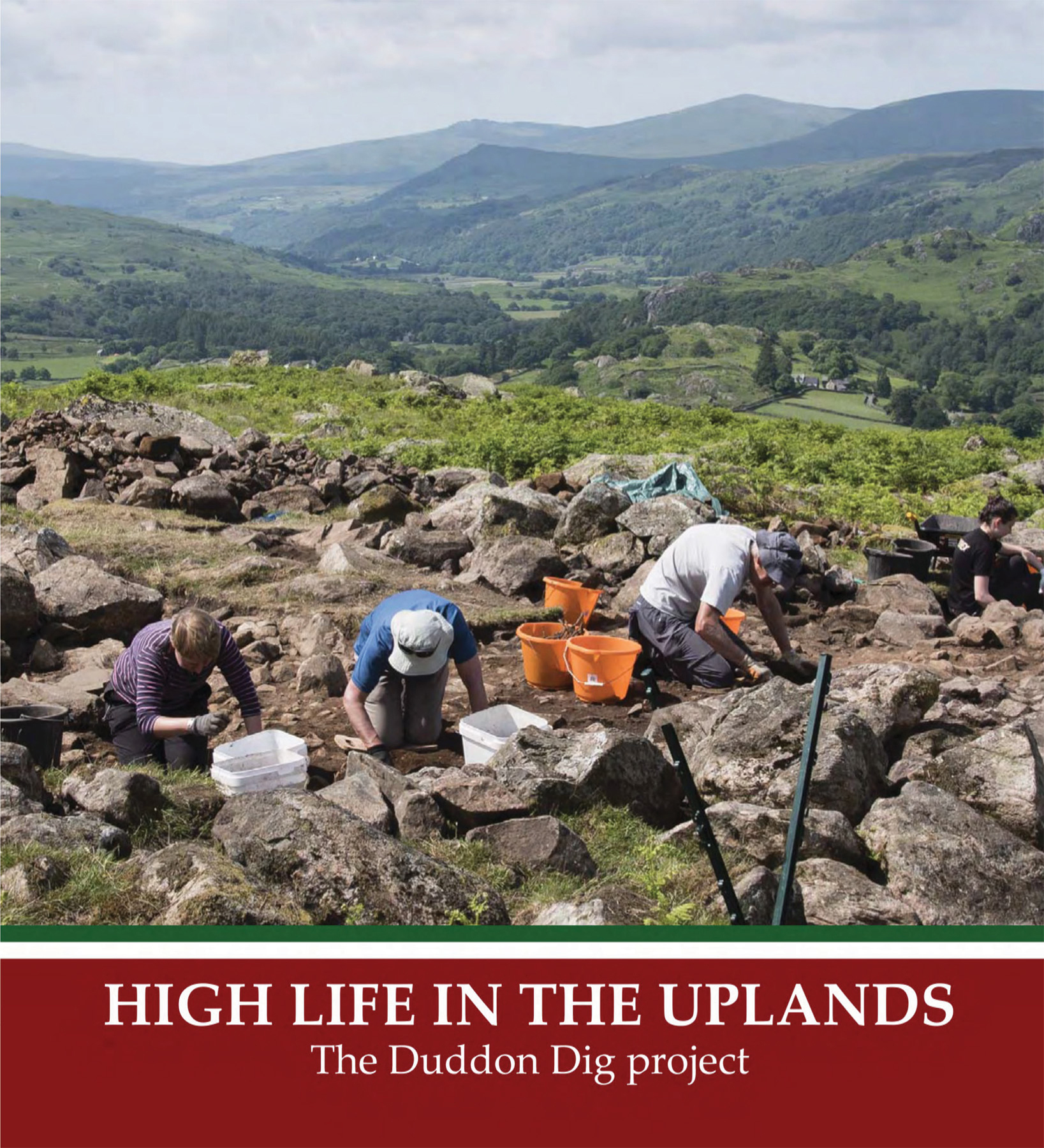
H 220 x W 200 mm
44 pages
Published Jul 2018
ISBN
Paperback: 9781907686320
Keywords
Duddon Valley; Lake District; upland archaeology; survey; volunteers; landscape archaeology
High Life in the Uplands: The Duddon Dig Project
By Bob Bell, Stephe Cove, Ken Day, Richard Gregory, Eleanor Kingston

Paperback
£9.95
 Add to wishlist
Presents the Duddon Dig Project, an ambitious survey of the Duddon and Lickle Valleys in the Lake District. Volunteer fieldwork recorded over 3000 sites, from prehistoric monuments to later farms and industry, revealing the archaeology of a rich upland landscape.
Archaeopress Publishing Ltd
First and Second Floor
13-14 Market Square
Bicester
Oxfordshire OX26 6AD
United Kingdom
Tel +44 (0) 1865 311914 | fax +44 (0) 1865 512231 | email info@archaeopress.com
