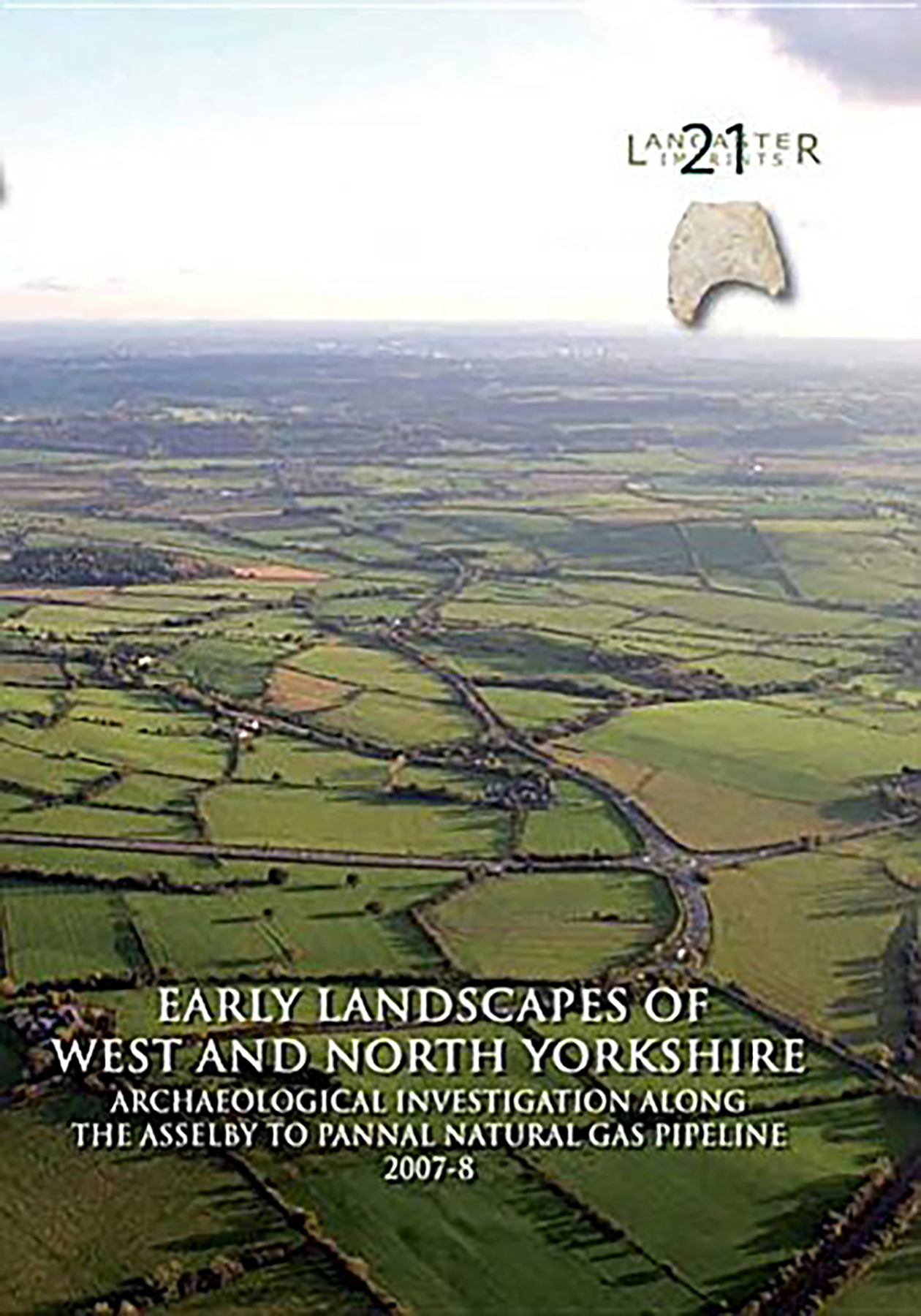
During 2007 and 2008, a major natural gas pipeline was constructed on behalf of National Grid, which traversed those parts of North and West Yorkshire lying between Asselby in the east, and Pannal. The construction of this 62 km-long pipeline provided an important opportunity to investigate the archaeology across three distinct landscapes.
During 2007 and 2008, a major natural gas pipeline was constructed on behalf of National Grid, which traversed those parts of North and West Yorkshire lying between Asselby in the east, and Pannal. The construction of this 62 km-long pipeline provided an important opportunity to investigate the archaeology across three distinct landscapes. The eastern of these lies between Asselby and Sherburn in Elmet and forms the southern fringe of the Vale of York. During the last glacial phase, Lake Humber occupied this area, and, in consequence, this landscape is typically low-lying and poorly drained. Immediately to the west, between Sherburn in Elmet and Collingham Beck, the pipeline crosses a second distinct landscape, the character of which has been largely conditioned by its Magnesium Limestone bedrock. This area now forms a low undulating ridge, extending north-south across Yorkshire, separating the Pennines from the Vale of York, and this appears to have been a favoured area for early settlement. The western section of the pipeline, between Collingham Beck and Briscoerigg, crosses the third distinctive landscape, which is geologically formed from Millstone Grit. This undulating landscape rises rapidly and forms the eastern margins of the Pennine uplands. Across each of these landscapes, a combination of non-intrusive and intrusive archaeological techniques was employed in order to explore the archaeology with the pipeline easement. These techniques included desk-based assessment, geophysical and topographical survey, trial trenching, open-area excavation, and archaeological watching briefs. This work was undertaken over a five-year period by Oxford Archaeology and Network Archaeology Ltd, and led to the identification of 15 areas of archaeological significance. These principally contained evidence for Iron Age and Romano-British habitation, though some evidence for early prehistoric, medieval, and post-medieval activity was also discovered. The Iron Age and Roman period remains comprised numerous boundaries and trackways, forming integral elements of early field systems and schemes of land division. These boundaries were discovered within all three of the landscape units, although a marked concentration was present on the limestone ridge, between Sherburn in Elmet and Collingham Beck. Significantly, these boundaries appear to relate to the progressive and incremental division, and enclosure, of the landscape between the earlier Iron Age and late Roman period. Excavation also indicated that many of these boundaries were maintained over extended periods of time, and this maintenance was perhaps used to construct and articulate social relationships during this period. Furthermore, the discovery of several human and animal burials, and particular artefacts, suggests that some of the boundaries formed the focus for deliberate acts of deposition. The burials included a late Roman infant, at Site 2, to the north- east of Sherburn in Elmet, which was associated with two juvenile animal burials, and later Iron Age/early Roman adult burials at Sites 26-3, south of Collingham, and AP33, immediately north of the Aberford Dykes. In addition, two of the boundaries examined were sections of the South Dyke (SM 31519) and Becca Banks (SM 31520) scheduled as Ancient Monuments, which form part of the Aberford Dykes monument complex. Excavation at South Dyke indicated that, prior to the construction of the dyke, a line of pits was dug, dating to the earlier Iron Age, which possibly defined a notional boundary. This possible pit alignment was then replaced by the South Dyke, which was constructed in the later Iron Age, and that probably formed one element of a wider system of land division. In contrast, excavation at Becca Banks suggested that this boundary was created in the late pre-Roman Iron Age (c 100 cal BC-cal AD 100), and post-dated the construction of the South Dyke by some considerable period of time. It is also possible that this monumental


 Add to wishlist