
Publishing Scholarly Archaeology since 1997
Publishing Scholarly Archaeology since 1997
Log in | My Account | Basket Twitter Facebook LinkedIn
Advanced Search
Download Sample PDF
H 290 x W 205 mm
352 pages
250 figures, 70 tables (colour throughout)
Published Apr 2024
ISBN
Paperback: 9781803277127
Digital: 9781803277134
Keywords
Remote Sensing; Satellite Images; Roman Limes; Byzantine; Archaeological Survey; GIS; Mesopotamia
Related titles

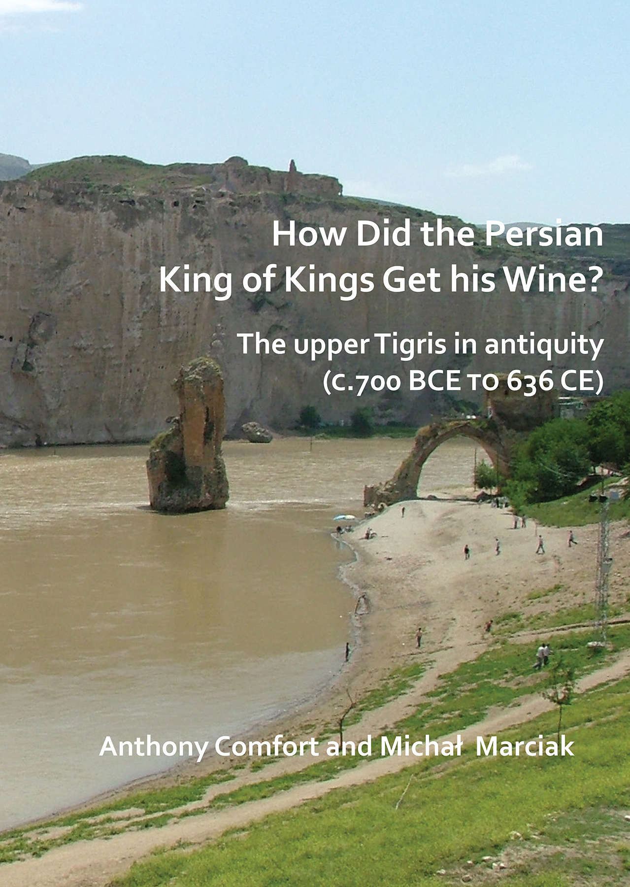

Satellite and Archaeological Reconnaissance in the Ṭūr ’Abdīn, Turkey
Final Report of the Finnish Swedish Archaeological project in Mesopotamia (FSAPM), 2014-2016
By Kenneth Silver, Minna Silver, Raffaella Pappalardo
Contributions by Markus Törmä

Paperback
£45.00
Includes PDF
PDF eBook
(personal use)
£16.00
PDF eBook
(institutional use)
£45.00
 Add to wishlist
Presents results from the Finnish-Swedish Archaeological Project in Mesopotamia (FSAPM) pilot study of Tūr Abdin, Turkey. Aiming to record and document sites in this endangered area to save its cultural heritage, the sites consist of fortified remains in an ancient border zone between the Graeco-Roman/Byzantine world and Parthia/Persia.
Contents
Preface and Acknowledgments
1. Introduction
2. Previous scholarship
3. Archaeological reconnaissance work
4. Discussion: Keferde, Ömerli
5. Discussion: Beşikkaya Fafe, Ömerli
6. Interpreting the tower tomb at Beşikkaya Fafe
7. The analysed pottery in context
8. The eastern frontier of the Roman Empire and the province of Mesopotamia in the late antiquity – a theatre of escalation and warfare
9. Ṭūr ‘Abdīn – a brief review of the archaeological sources and the limitations in interpretation
10. Mapping and satellite cartography in the Ṭūr ‘Abdīn and beyond
11. Concluding thoughts about peoples, ethnicity, and the eastern limes in context
12. Summary
Bibliography
List of the Figures and Plates
Figure and Plate Credits
Indexes
Archaeopress Publishing Ltd
First and Second Floor
13-14 Market Square
Bicester
Oxfordshire OX26 6AD
United Kingdom
Tel +44 (0) 1865 311914 | fax +44 (0) 1865 512231 | email info@archaeopress.com
