Oxford Archaeology Monograph 34
Harpole: The Landscape of a Roman Villa at Panattoni Park, Northamptonshire
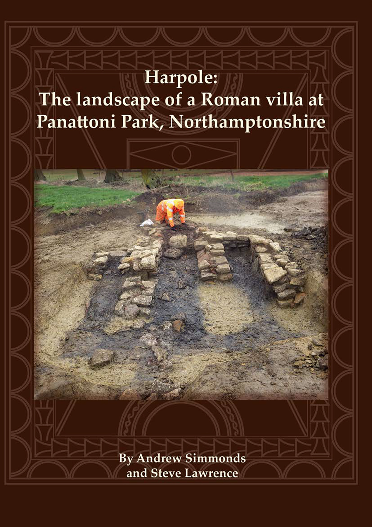
By Andrew Simmonds, Steve Lawrence

Paperback
£20.00
Add to basket
 Add to wishlist
Excavation at Panattoni Park uncovered a Mesolithic knapping site, Iron Age pit‑alignment boundaries and roundhouse settlement, and a substantial Roman villa occupied from the 2nd–4th centuries. The villa’s landscape included enclosures, a temple‑mausoleum, crop‑processing areas, and stockyards before abandonment.
READ MORE
Excavations at Panattoni Park, at Harpole within the Nene Valley west of Northampton, uncovered part of a Roman villa and evidence for preceding prehistoric and early Roman settlement. The earliest evidence was a Mesolithic flint-knapping site. During the early Iron Age or at the start of the middle Iron Age, a pit alignment was constructed running down the valley side. A middle Iron Age settlement of at least seven roundhouses lay 450m to the east of the pit alignment. It is likely that both the boundary and the settlement were associated with cattle grazing on the valley floor, and the settlement may have been seasonally occupied. An enclosure complex was constructed against the pit alignment during the late Iron Age and occupied until c AD 50/70, after which there was an apparent hiatus of about a century before the establishment of the villa during the mid-2nd century. The villa was first discovered in the 1840s when a mosaic was accidentally uncovered. It was believed to have been largely destroyed during widening of the adjacent A4500 road in 1966 when excavation of only a small area was possible. However, the new excavation has demonstrated the survival of part of the main villa complex, including a substantial aisled building that may have formed the southern range. An extensive part of the agricultural landscape surrounding the villa was investigated, including an area devoted to malting and an enclosure complex used as a stockyard for processing livestock. A further notable find was a small hoard of mower’s tools, perhaps the toolkit of an individual agricultural worker. A building interpreted as a temple-mausoleum of Romano-Celtic form situated beside a spring channel was also investigated. Pollen from the channel indicating the presence of a walnut grove may be the earliest definite evidence for the cultivation of walnut trees in Britain.