Oxford Archaeology Monograph 7
Between Villa and Town: Excavations of a Roman Roadside Settlement and Shrine at Higham Ferrers, Northamptonshire
By Alex Smith, Steve Lawrence, Alexander Smith

Hardback
£19.99
Add to basket
 Add to wishlist
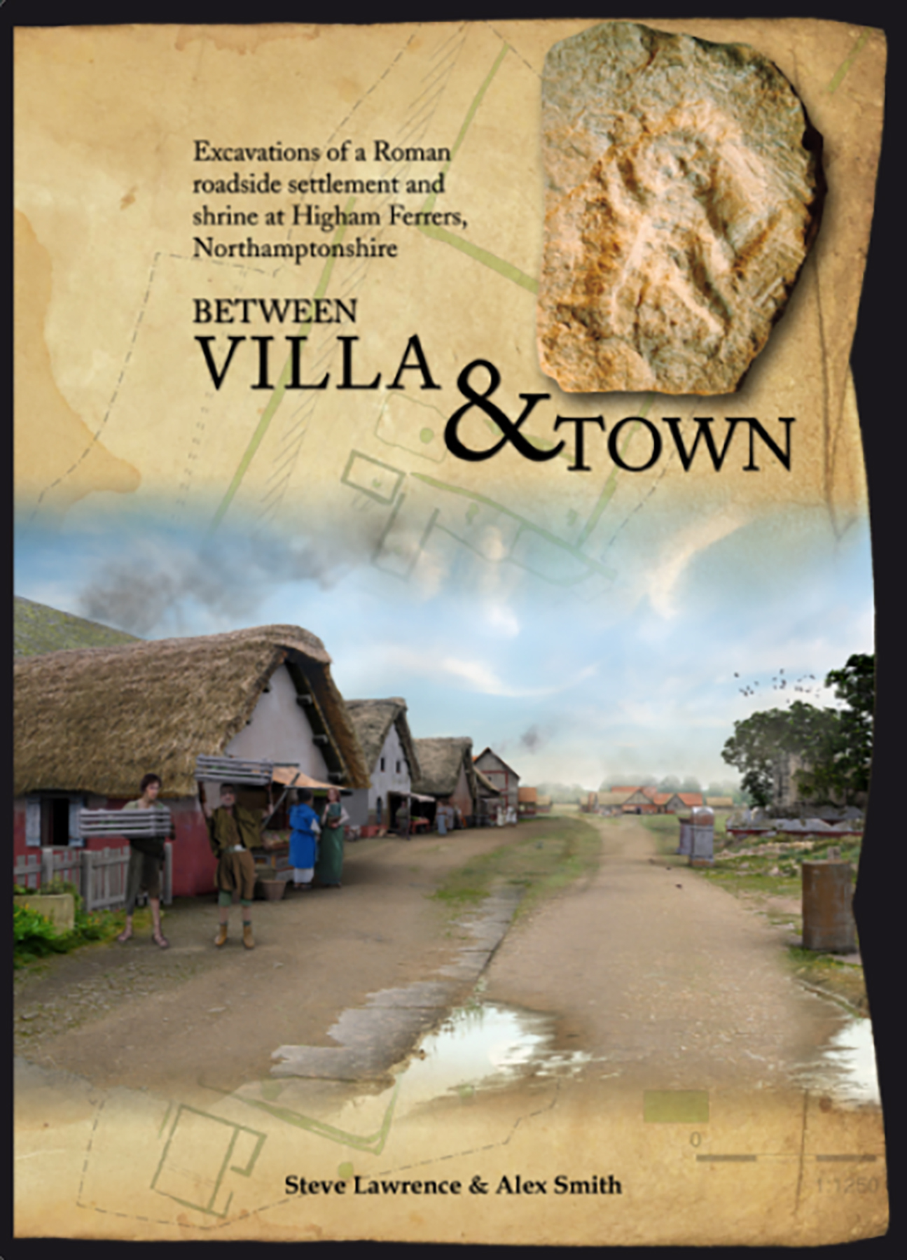
The settlement shifted in layout in the late 2nd–3rd centuries, with new roadside buildings and a gravel pavement, while a monumental shrine rose to the west. In the 3rd–4th centuries it expanded north and the shrine was abandoned. The site was deserted by the late 4th century, later seeing Saxon reuse among surviving Roman earthworks.
READ MORE
Oxford Archaeology (OA) undertook a series of archaeological investigations on land around Kings Meadow Lane, Higham Ferrers, Northamptonshire, from 1993 to 2003. This work revealed occupation from the Mesolithic through to the medieval period, including part of a substantial Roman roadside settlement and shrine. This volume deals with the Roman remains, in addition to excavated early prehistoric and Iron Age activity in the local area. The important early to mid Saxon settlement and the medieval remains have been published elsewhere (Hardy et al. 2007). The earliest occupation is represented by an extensive redeposited flint assemblage attesting to significant (probably early) Mesolithic activity at the site. Sparse Neolithic occupation was indicated by two pits and a scatter of tools. A late Neolithic/early Bronze Age ring ditch surrounding a probable cremation burial was found to the east of the Roman settlement, while a second cremation burial, within an inverted early Bronze Age Collared Urn, was found in the far western part of the site. A middle to late Iron Age settlement was located c 370 m north-east of the Roman settlement, and consisted of a series of enclosures with associated ring gullies and other settlement features. The excavated part of the Roman settlement was established in the earlier 2nd century, with evidence for circular buildings, wells and a small cemetery. The settlement was bounded to the west by a ditch delimiting the eastern side of a north-south road. The layout of the settlement changed significantly during the late 2nd to 3rd century, with a series of mostly rectangular buildings aligned upon the eastern side of the north-south road. A gravel ‘pavement’ was constructed along the whole length of the roadside frontage of the settlement, while on the western side of the road, a monumental shrine complex was constructed. During the late 3rd to early 4th century the settlement expanded to the north, although the shrine to the west of the road fell into disuse at this time. The religious focus may have shifted to a small ‘temple’ at the northern periphery of the settlement. The settlement (or at least the excavated part of it) was abandoned during the second half of the 4th century, with the buildings being subjected to stone robbing, a process that continued into the post-Roman period. At the time of the Saxon reoccupation of the site (mid 5th century onwards), many of the late Roman boundary ditches still existed as remnant earthwork hollows.